There is a lot of nomenclature in the field of utility locating, so much so that it can intimidate and confuse those who are new to the industry. But don't worry, we can help you navigate this complex terminology. Below, we simply explain some of the top utility locating terms you're most likely to hear.
#1: GPR
Ground Penetrating Radar (GPR) is a powerful tool for detecting what's below the surface without digging. GPR works by sending radar pulses underground and displaying the echoes to create images of subsurface objects. A standard GPR system consists of a control unit, an antenna (which both sends and receives radar signals), and a power source.
Construction professionals and technicians value GPR because it can find objects that other methods miss—like rebar, post-tension cables, wiring mesh, and all types of utilities, whether metallic or not. Depending on the soil and the equipment, GPR can detect objects just beneath the surface or even over 100 feet down. Most importantly, GPR provides real-time imagery so teams can make adjustments on-site, minimizing risks and saving potentially thousands by avoiding utility strikes.
#2: Subsurface Object
A subsurface object is anything man-made or natural beneath the ground. This includes known and unknown utilities, geological features, or construction elements that could impact digging or building.
Common subsurface objects include:
- Metallic utilities: Gas lines, electrical conduits, water mains.
- Non-metallic objects: PVC pipes, fiber optic cables, concrete structures, storage tanks.
- Construction objects: Rebar, post-tension cables, foundations, support systems.
Because not all objects respond the same way to detection technology, utility locating pros use multiple tools—like electromagnetic detection, GPR, and direct visual assessment—to build a complete subsurface map.
#3: Conductivity
Conductivity is simply a material's ability to carry an electrical current. This property is central to how electromagnetic locating methods work. Standard locators can pick up electrical signals from metals with high conductivity, like copper, steel, and aluminum. Non-metallic items (PVC, fiber optics, concrete) have low conductivity, so locators must use alternative methods like GPR.
When a utility's conductivity contrasts with the surrounding soil, it creates a unique electromagnetic signature. Skilled technicians interpret these signatures to identify what's underground, its depth, and its direction.
#4: Hyperbola
On a GPR screen, a hyperbola is the telltale curve that appears when the system detects a buried object. Why a curve? Because the GPR antenna sends radar waves in a cone-shaped pattern, when a wave hits an object and bounces back, its path changes as the antenna moves, resulting in a hyperbolic signature.
Operators use the size and depth of a hyperbola to estimate the type, size, and depth of underground objects. A series of hyperbolas often points to linear objects like pipes, while a single one might be something smaller, like a valve box.
#5: Antenna
Another top utility locating term that we can explain simply is the antenna. In a GPR system, the antenna launches radar waves and receives their reflections. The frequency of the antenna determines its capability:
- High-frequency antennas (1,000-2,600 MHz): Best for shallow, detailed scans (such as inside concrete).
- Low-frequency antennas (100-500 MHz): Can "see" deeper but offer less detail—great for deep utilities or geological surveys.
Shielded antennas block interference for work in noisy (electrically) environments, while unshielded antennas allow for better sensitivity at greater depths. Many modern GPR systems use more than one antenna to provide a balance between detail and penetration.
#6: Electromagnetic Field
Electromagnetic locating hinges on detecting the fields that electrical currents in underground lines produce. These fields may already be present (passive locating) or created intentionally (active locating).
- Active locating: A signal transmitter attaches to a line and produces a traceable field to accurately follow a utility's route.
- Passive locating: Takes advantage of existing fields in live power or telecommunication lines, allowing detection with specialized receivers without direct contact. However, passive methods are less precise, and different overlapping signals can clutter them.
Technicians use both approaches depending on the situation for accurate mapping and to avoid underground surprises.
#7: Public Utility Locator
The 811 system, known as "Call Before You Dig," is a nationwide hotline that connects people with public utility services that then send locators to mark public lines within a designated work site. Each state manages its own system to organize and process requests.
Public utilities include electric, gas, telecom, water, and sewer infrastructure. You must usually provide 2-3 business days' notice before excavating. After contacting 811, professionals mark out the utilities using color-coded paint or flags.
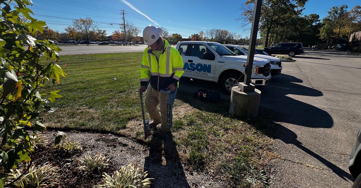
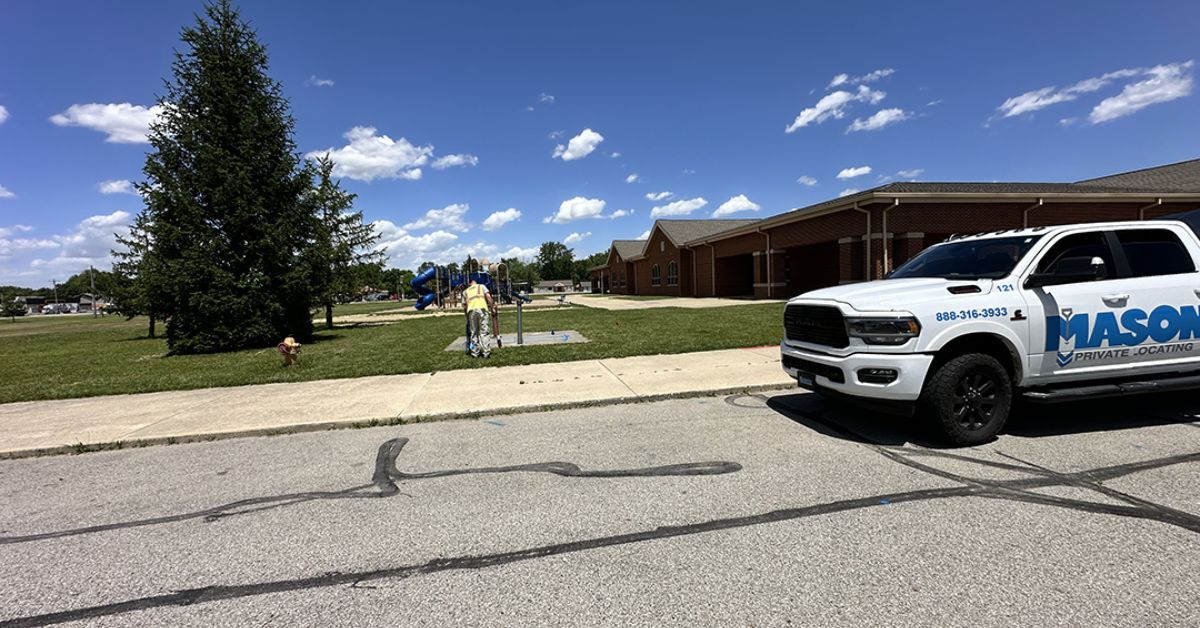
#8: Private Utility Locator
Private utility locators fill the gap left by 811. Private utilities are any lines past the public service access point and are on private property. Private utilities include systems for irrigation, private power, internet, propane, fire suppression, septic, and industrial process lines. Private locators use electromagnetic tools, GPR, and visual surveys to map all relevant underground utilities before construction or excavation. Private utility locating is more than convenience—it's a crucial safety and project management step, particularly where records are poor or absent, or facilities are old and possibly abandoned.
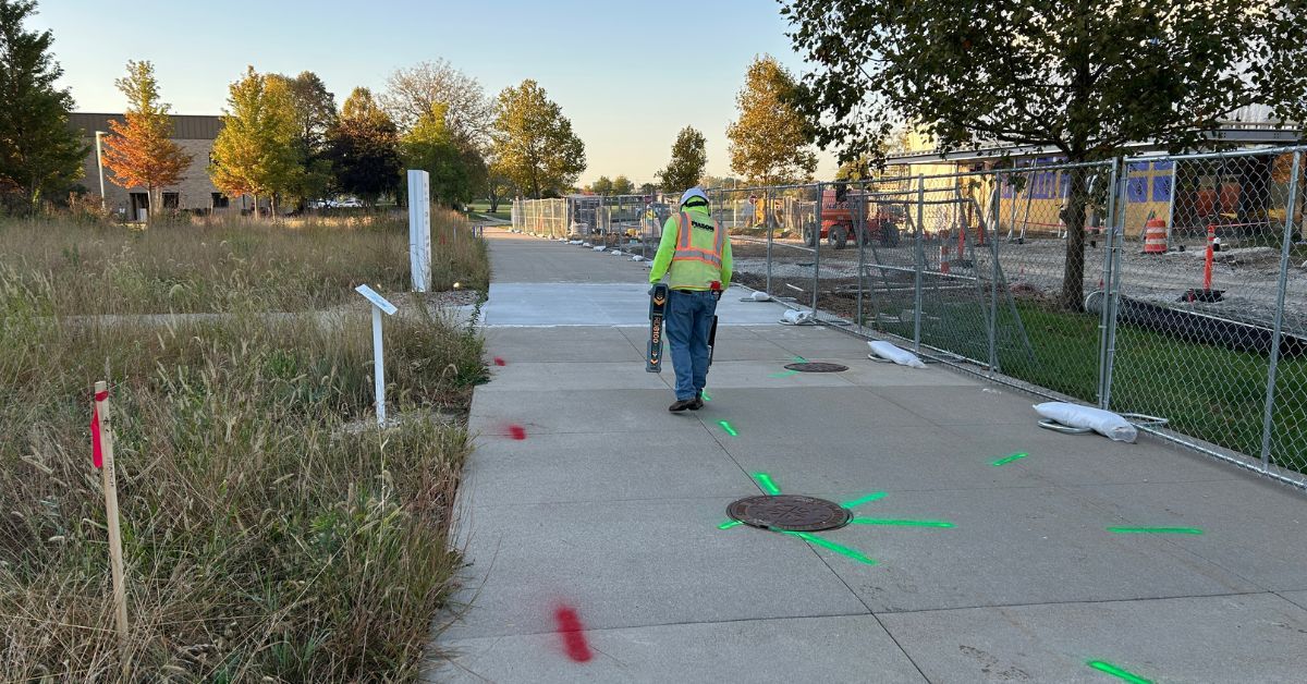
#9: Utility Markings
Markings are your on-the-ground guide to what's below. Utility locators use paint, flags, or chalk to mark the earth above found utilities. These markings don't just say "something's here"—they provide info like the type of utility, depth estimates, direction, and warnings for special hazards.
The clarity and resilience of markings are important: weather, traffic, or site activity can quickly obscure lines, so regular refreshing may be necessary. Some projects use electronic markers or GPS coordinates for more permanent records, especially on long-term or high-risk sites.
#10: APWA Color Chart
To avoid confusion, the American Public Works Association (APWA) set out a national color-coding standard for utility markings:
- Red - electric power lines/cables
- Yellow - gas, oil, steam, petroleum
- Orange - communication, alarm, signal lines, fiber optics
- Blue - potable water
- Green - sewer/drain lines
- Purple - reclaimed water, irrigation
- Pink - temporary survey markings
- White - proposed excavation
All professional locators and many contractors follow this code. Knowing these colors at a glance can save you time, money, and—most importantly—keep your crew safe.
Protecting Your Project Through Knowledge
Learning core utility locating terms is about more than language: it's about project safety, legal compliance, and smooth construction. The complex underground infrastructure at modern sites demands a combination of technology, skilled professionals, and clear communication for every dig or build.
If you want complete peace of mind for your next project, reach out to certified utility locating experts, like Mason Private Locating, who can create a customized plan that suits your needs. We can help keep your project on schedule, compliant, and protected from unexpected underground challenges.